
01 Services
Topographical Surveys
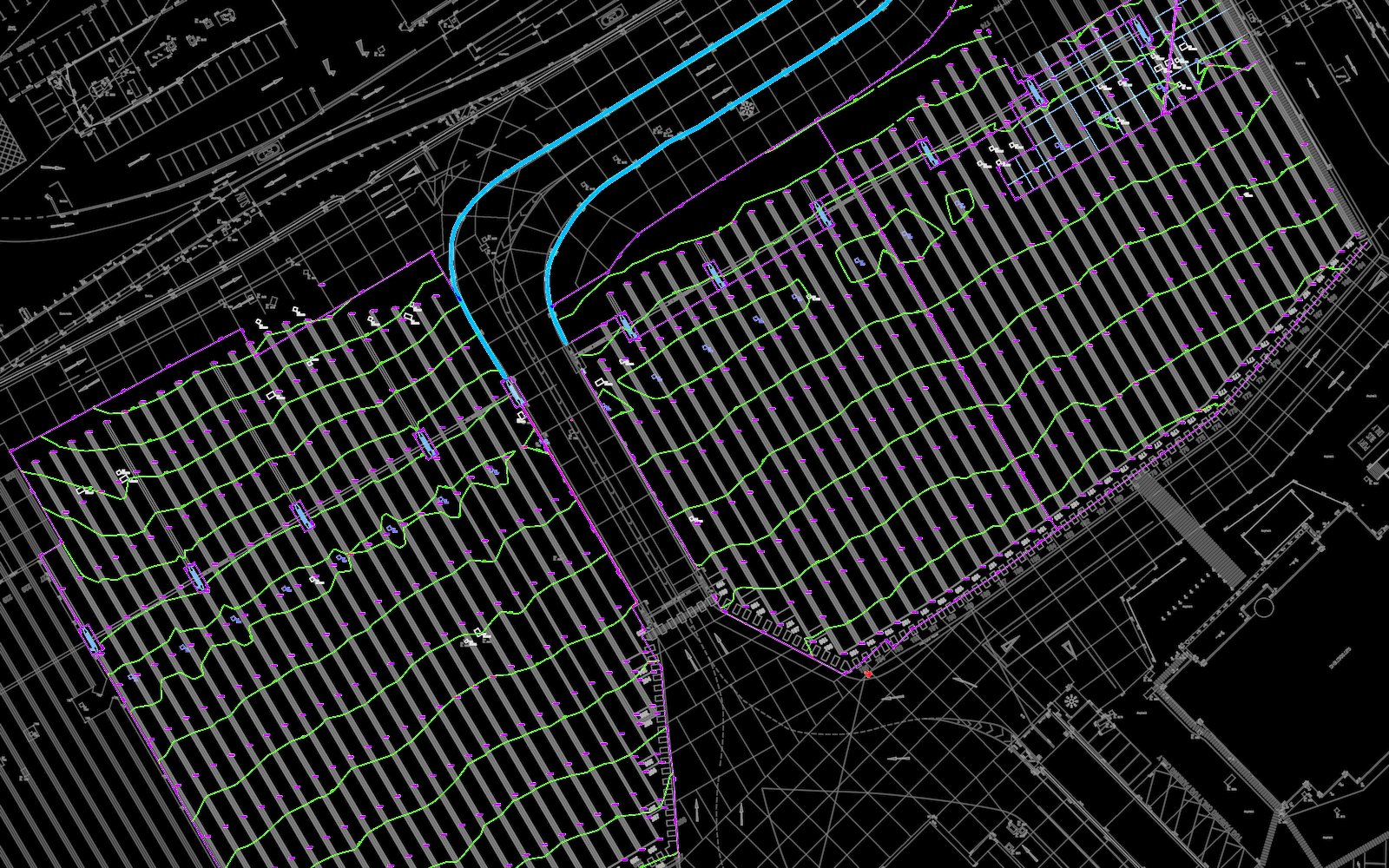
A precise, coordinated record of the ground and everything on it: levels, buildings, boundaries, kerbs, drainage, trees and street furniture. It gives your designers a reliable base to work from.
What you get
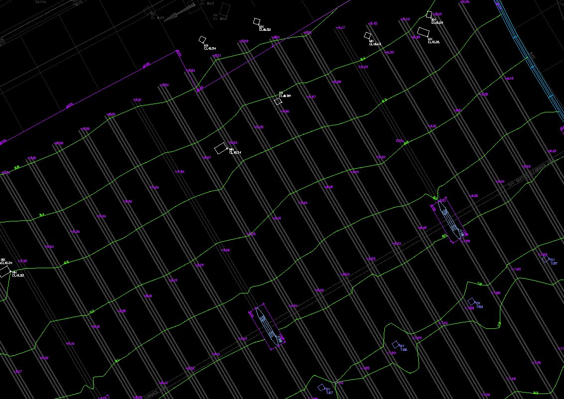
- 2D and 3D CAD drawings (DWG) to your layer and symbol standards
- Spot levels, contours and break lines
- Tied to OS National Grid and Ordnance Datum Newlyn
- Control station schedule for future setting out
Ideal for
- Feasibility, planning and design
- Pre-construction baselines
- Boundary and site appraisal
- Highways and drainage design
Get in touch
Need a topographical survey?
Send us a site plan or a short description of what you need. We'll recommend the right survey and come back with a clear, itemised quote.