01
Topographical Surveys
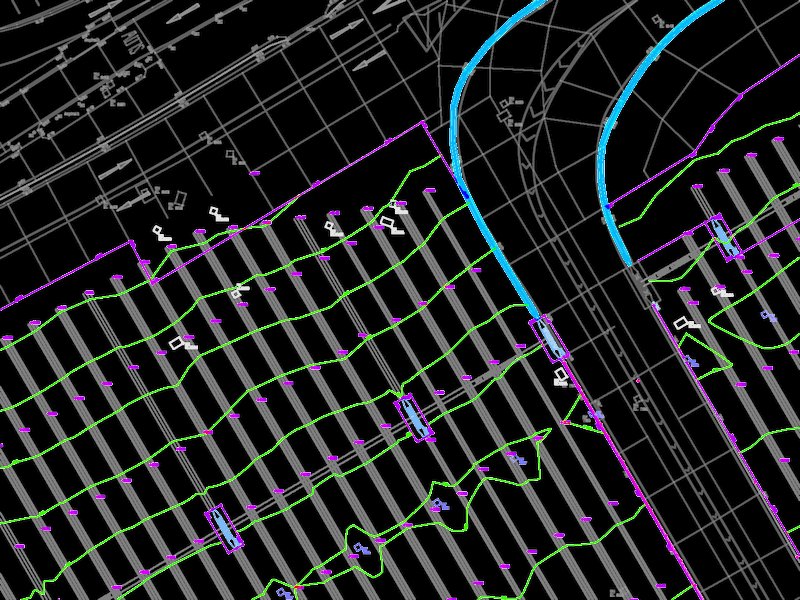
A precise, coordinated record of the ground and everything on it: levels, buildings, boundaries, kerbs, drainage, trees and street furniture. It gives your designers a reliable base to work from.
What you get
Our services
Nine survey services across Kent, London and the South East, and UK-wide. All coordinated to OS National Grid, independently checked and delivered in the format your team works in.
A precise, coordinated record of the ground and everything on it: levels, buildings, boundaries, kerbs, drainage, trees and street furniture. It gives your designers a reliable base to work from.
What you get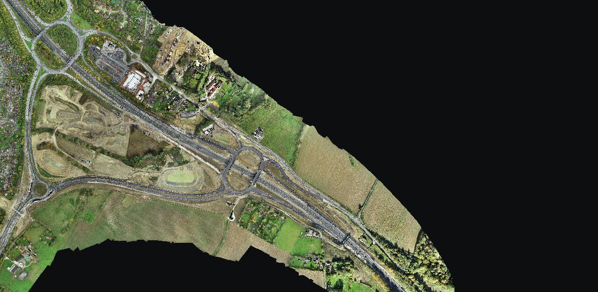
Drone (UAV) photogrammetry captures large or hard-to-reach sites quickly and safely. It produces high-resolution, georeferenced imagery that can sit directly under your design.
What you get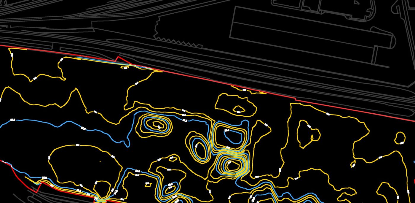
We turn point clouds and survey data into 3D surfaces and models you can measure, analyse and design against, from earthworks and stockpiles to whole sites.
What you get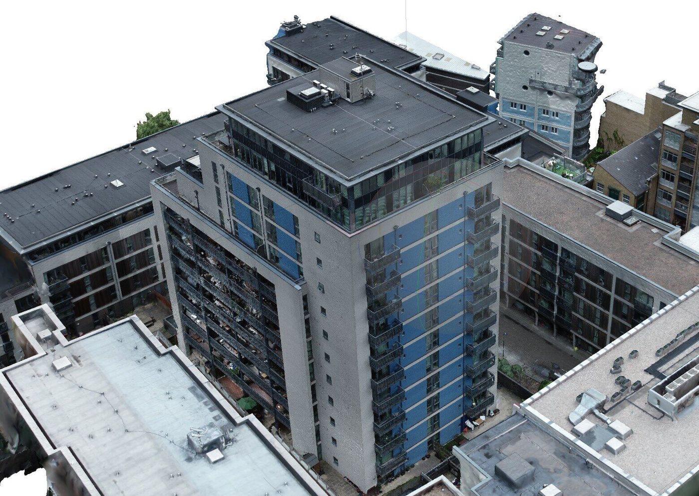
Terrestrial laser scanning captures millions of measured points in minutes, recording buildings, structures and complex spaces in full 3D without needing repeat visits.
What you get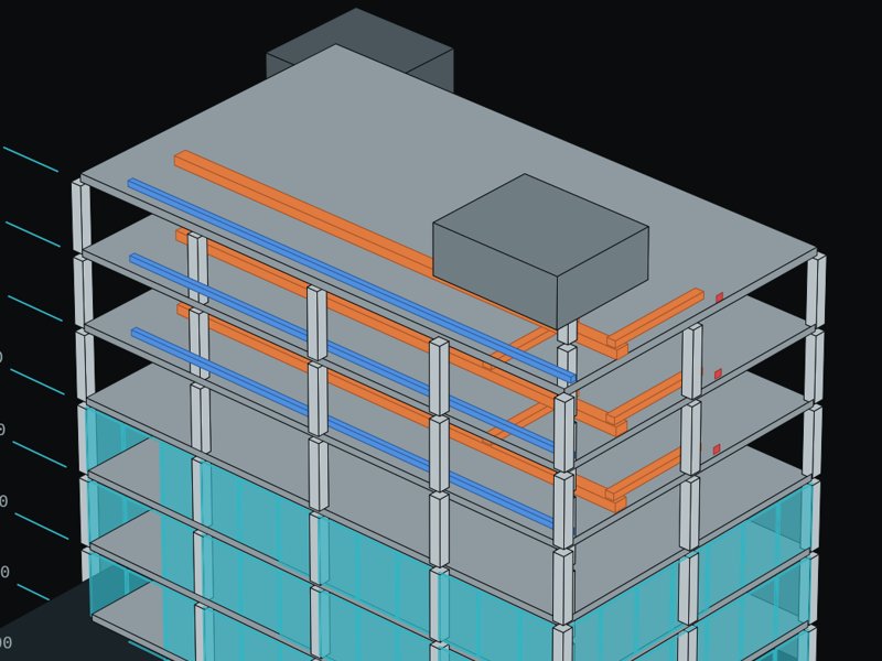
We turn laser scan and survey data into intelligent 3D BIM models of existing buildings and sites, ready for your design team to design, coordinate and manage against.
What you get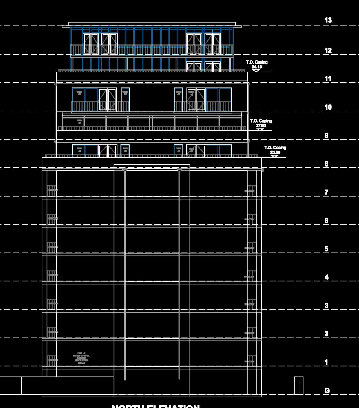
Accurate floor plans, elevations and sections of existing buildings, drawn to scale so architects and engineers can design with confidence.
What you get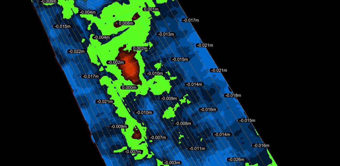
By comparing two surfaces, such as existing ground and design, or formation and finished level, we show exactly where material needs removing or adding, and by how much.
What you get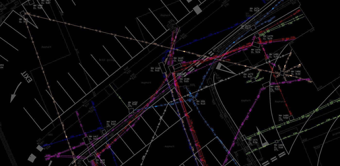
Utility mapping to PAS 128, using electromagnetic location (EML) and ground penetrating radar (GPR) to show what is buried beneath your site before you dig.
What you get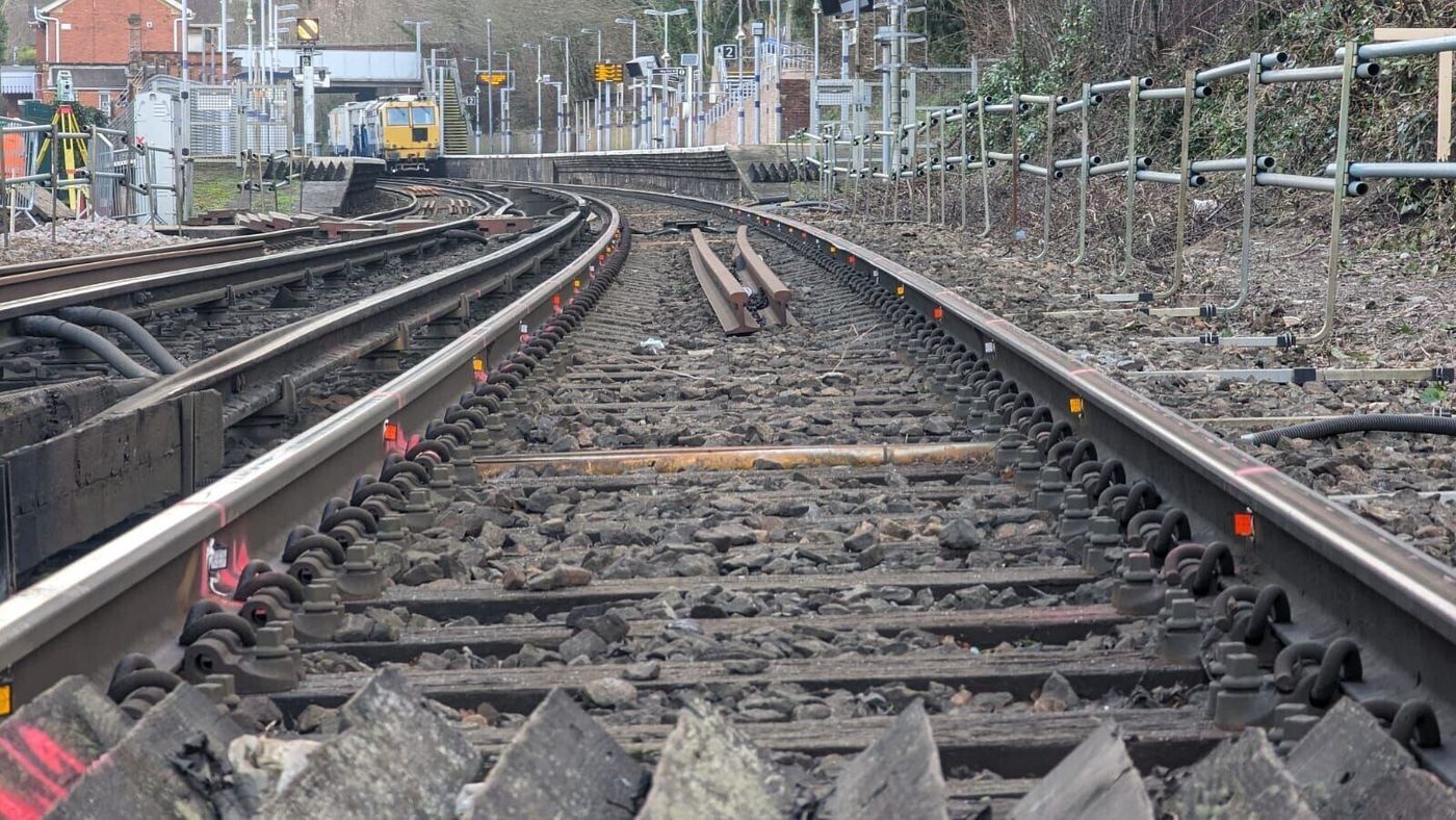
Track surveys and monitoring for works on or near the railway, giving asset owners and contractors clear, repeatable data on track geometry and movement.
What you getGet in touch
Send us a site plan or a short description of what you need. We'll recommend the right survey and come back with a clear, itemised quote.