
04 Services
Laser Scanning
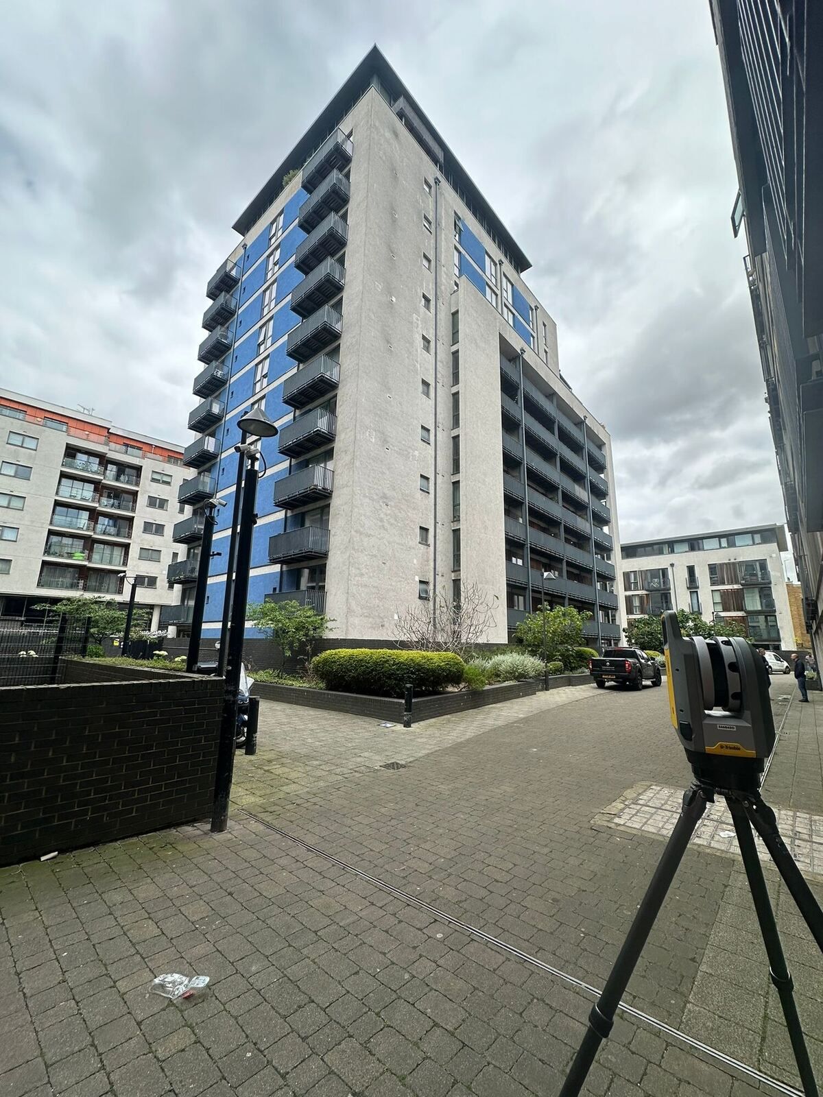
Terrestrial laser scanning captures millions of measured points in minutes, recording buildings, structures and complex spaces in full 3D without needing repeat visits.
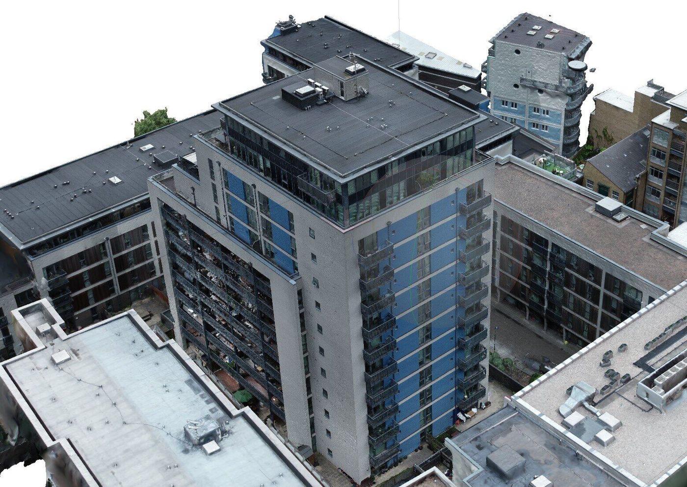
Explore a live model
Margate Town Hall
Photogrammetry and laser scan model. Drag to orbit, scroll to zoom.
What you get
- Registered point clouds (E57, RCP and others)
- 2D drawings and 3D models extracted from scan data
- Facade, structure and as-built records
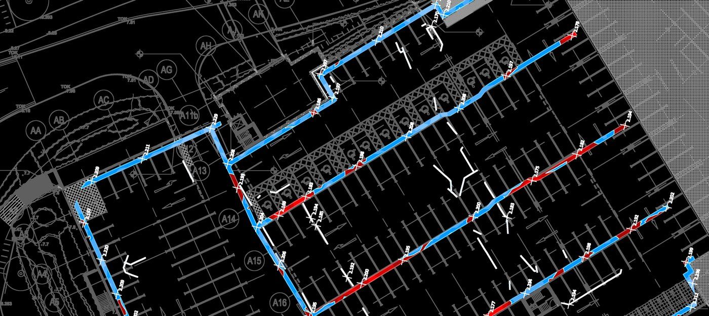
- Deviation and flatness analysis
Ideal for
- Refurbishment and retrofit design
- Complex or occupied buildings
- Car parks, plant rooms and structures
- Heritage and as-built records
Get in touch
Need a laser scanning survey?
Send us a site plan or a short description of what you need. We'll recommend the right survey and come back with a clear, itemised quote.