08 Services
PAS 128 Utility Surveys
Utility mapping to PAS 128, using electromagnetic location (EML) and ground penetrating radar (GPR) to show what is buried beneath your site before you dig.
What you get
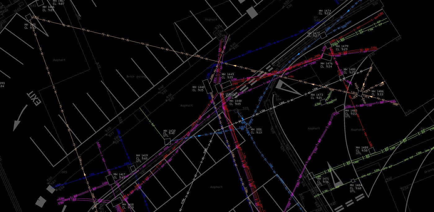
- Colour-coded utility drawings in CAD
- Quality Level assigned to every service
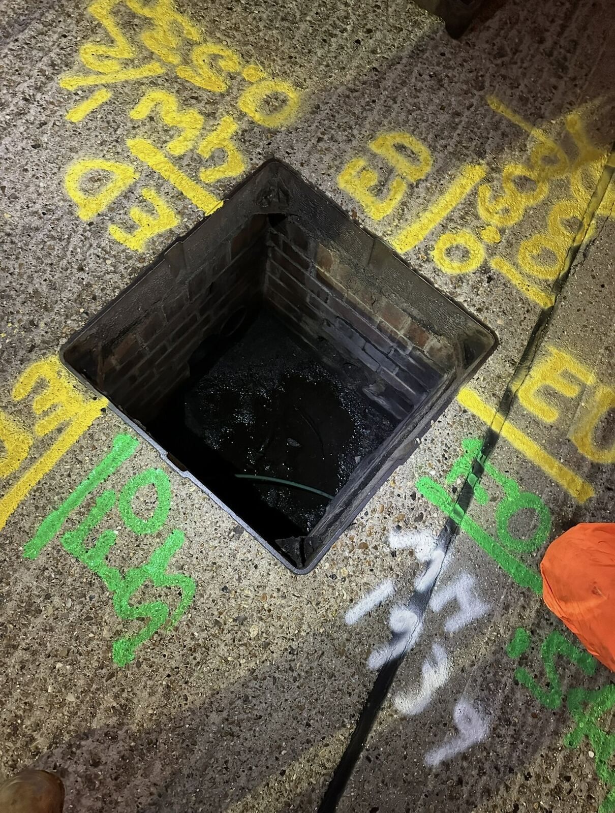
- Chamber and cover inspection details
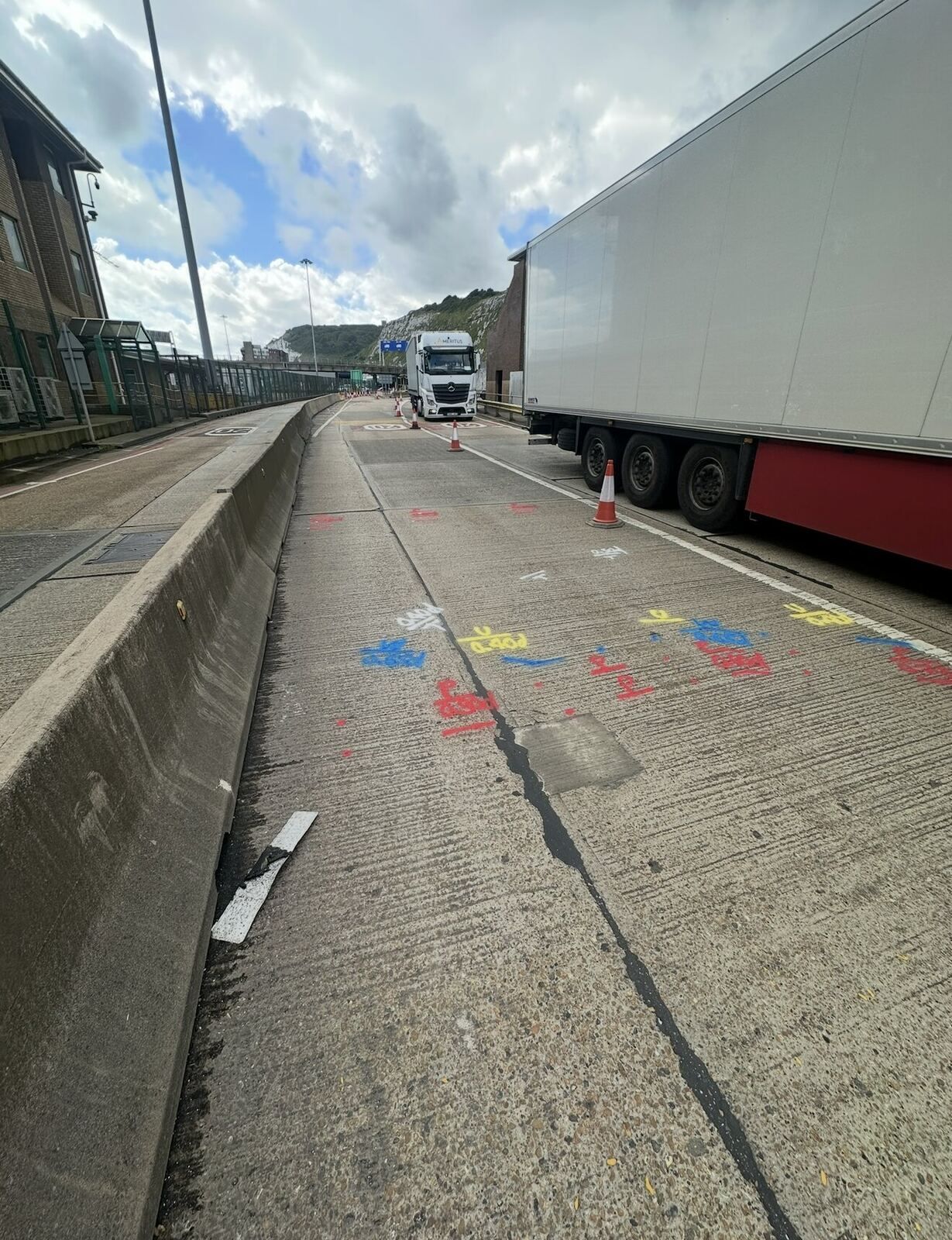
- On-site paint marking of located services
Ideal for
- Design and pre-construction
- Safe excavation and piling
- Highways and infrastructure works
- Diversion and new connection design
Get in touch
Need a PAS 128 utility survey?
Send us a site plan or a short description of what you need. We'll recommend the right survey and come back with a clear, itemised quote.