
03 Services
3D Modelling
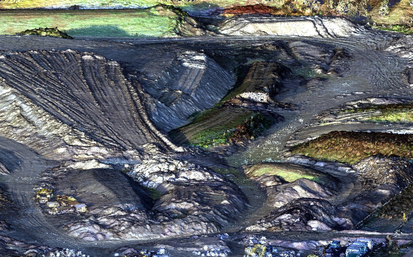
We turn point clouds and survey data into 3D surfaces and models you can measure, analyse and design against, from earthworks and stockpiles to whole sites.
Explore a live model
Margate Town Hall
Photogrammetry and laser scan model. Drag to orbit, scroll to zoom.
What you get
- Coloured point clouds and mesh models
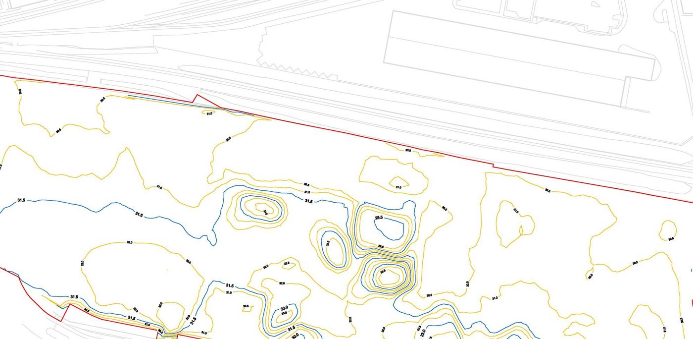
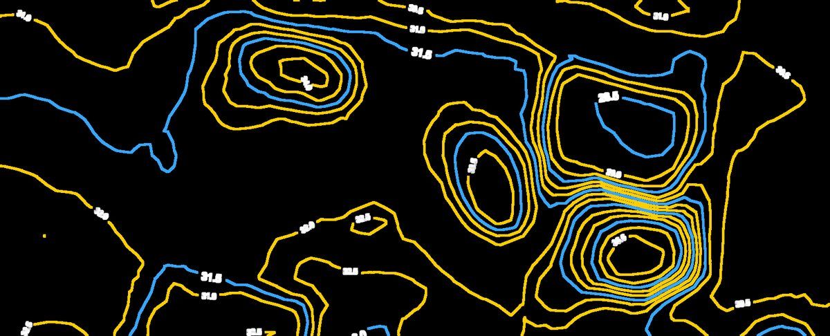
- Digital terrain models (DTM) and contours
- Stockpile and earthworks volume calculations
- Models for Civil 3D, Revit and other BIM platforms
Ideal for
- Earthworks and quarry volumes
- Design coordination and clash checking
- Visualisation and planning
- Existing-condition records
Get in touch
Need a 3D model of your site?
Send us a site plan or a short description of what you need. We'll recommend the right survey and come back with a clear, itemised quote.