
02 Services
Aerial & Drone Surveys
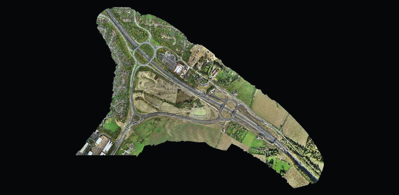
Drone (UAV) photogrammetry captures large or hard-to-reach sites quickly and safely. It produces high-resolution, georeferenced imagery that can sit directly under your design.
What you get
- Georeferenced orthomosaic imagery
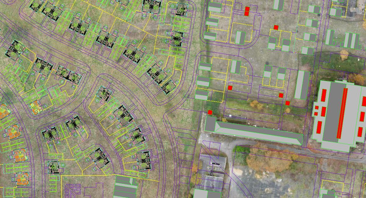
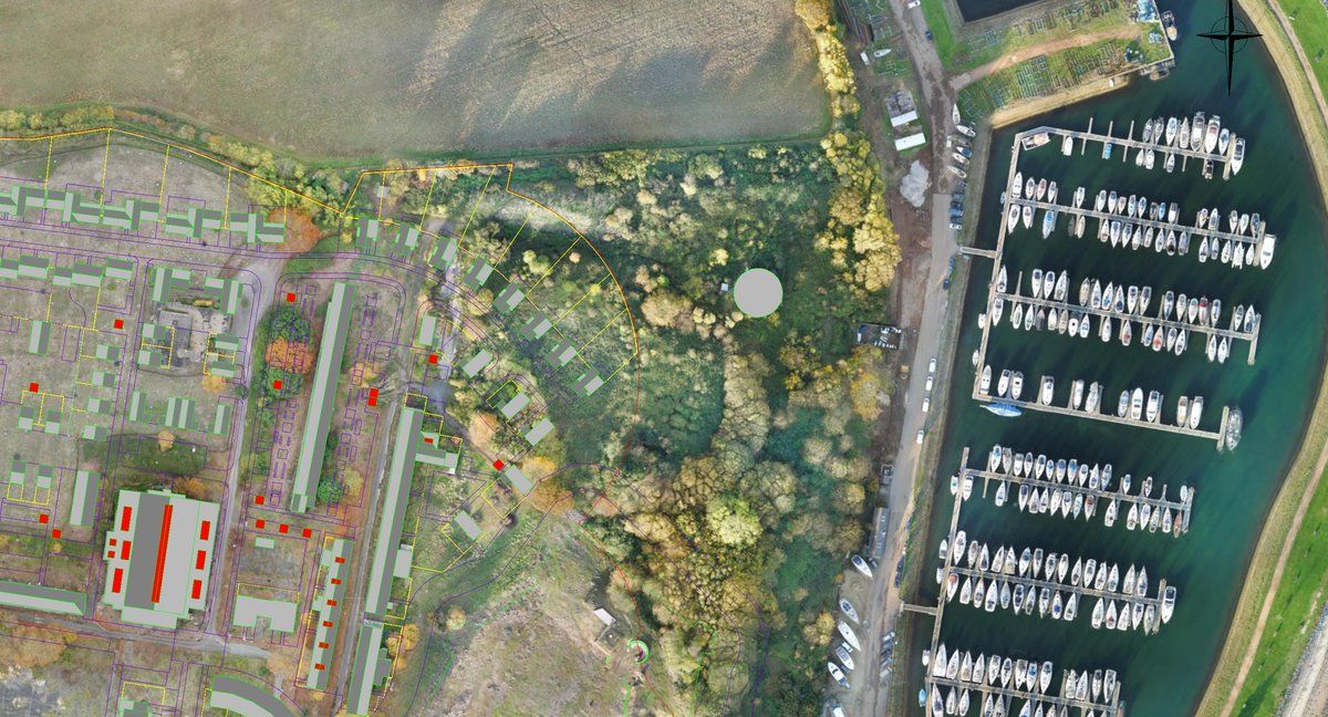
- Design and survey overlays on real imagery
- Digital terrain and surface models
- Repeat flights for progress monitoring
Ideal for
- Large and greenfield sites
- Highways and infrastructure
- Planning and stakeholder presentations
- Construction progress records
Get in touch
Need a aerial / drone survey?
Send us a site plan or a short description of what you need. We'll recommend the right survey and come back with a clear, itemised quote.